Smith Bay & Water Bay Watershed Study
Smith Bay & Water Bay Watershed Study
Nonpoint Source Pollution Education and Outreach Project
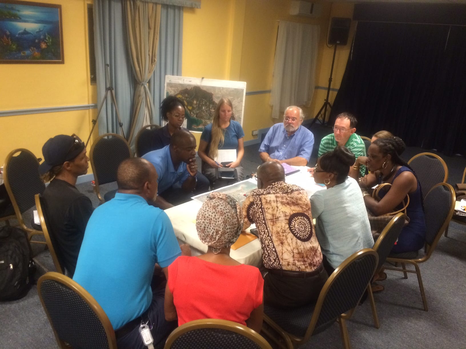
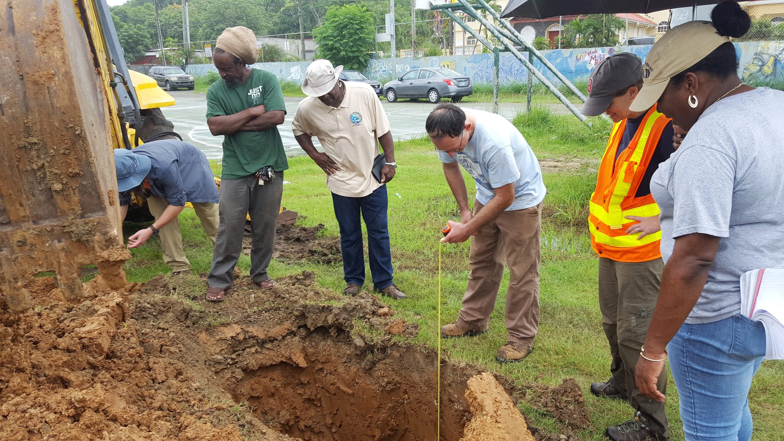
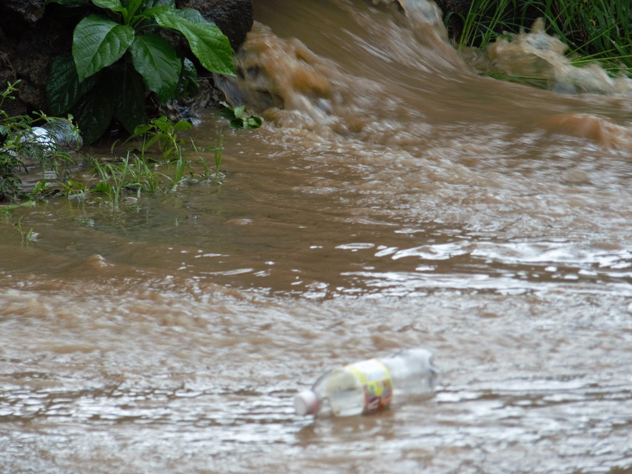
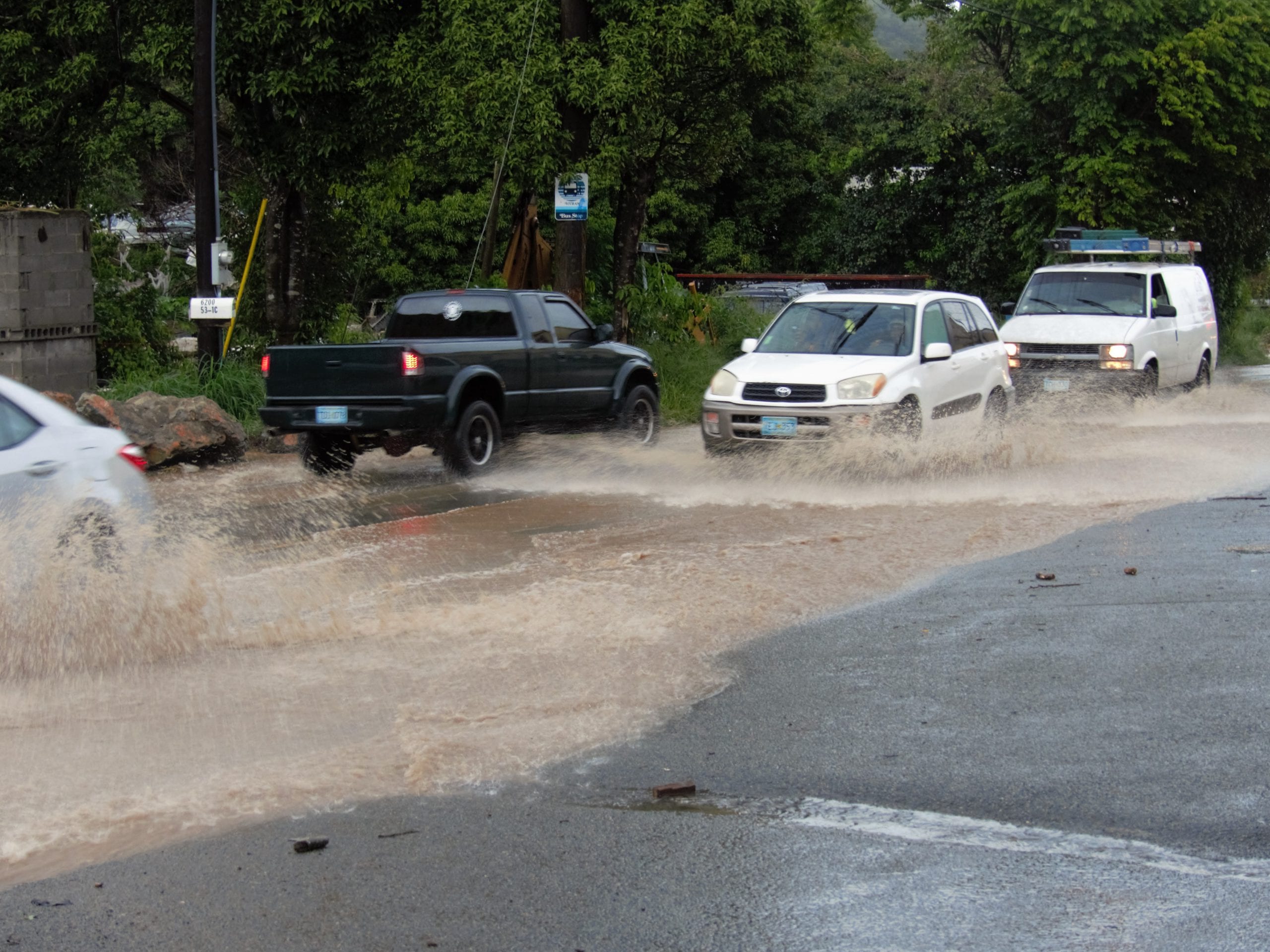
The Smith Bay / Water Bay Nonpoint Source Pollution Education / Outreach Project engaged the Smith Bay community and other public and private stakeholders in characterizing the conditions and suggesting solutions to the stormwater and NPS pollution problems in the SB / WB watershed. There is no doubt that serious environmental and public health & welfare threats exist as a result of the stormwater and NPS pollution problem. Public outrage over the situation was well known, especially because of flooding on Smith Bay Road and standing water on Coki Point Road in recent years. The goals of this project were to inform the public on the causes of the storm water and NPS pollution problems they are witnessing in their watershed and suggest priority projects (Best Management Practices or BMPs) that will mitigate those problems, while positioning the community to seek funding for implementation ofBMPs through publication of a watershed management plan that satisfies USEnvironmental Protection Agency (USEPA) Guidelines.Gathering, compilation and reporting of technical watershed information was led by the Horsley Witten Group (HW) with input and guidance on problems and opportunities from local residents and businesses.The Virgin Islands ConservationSociety (VICS) and the Smith Bay Community Action Foundation (SBCAF)coordinated stakeholder involvement and project communication through town hall meetings, public events, a website and social media
Executive summary
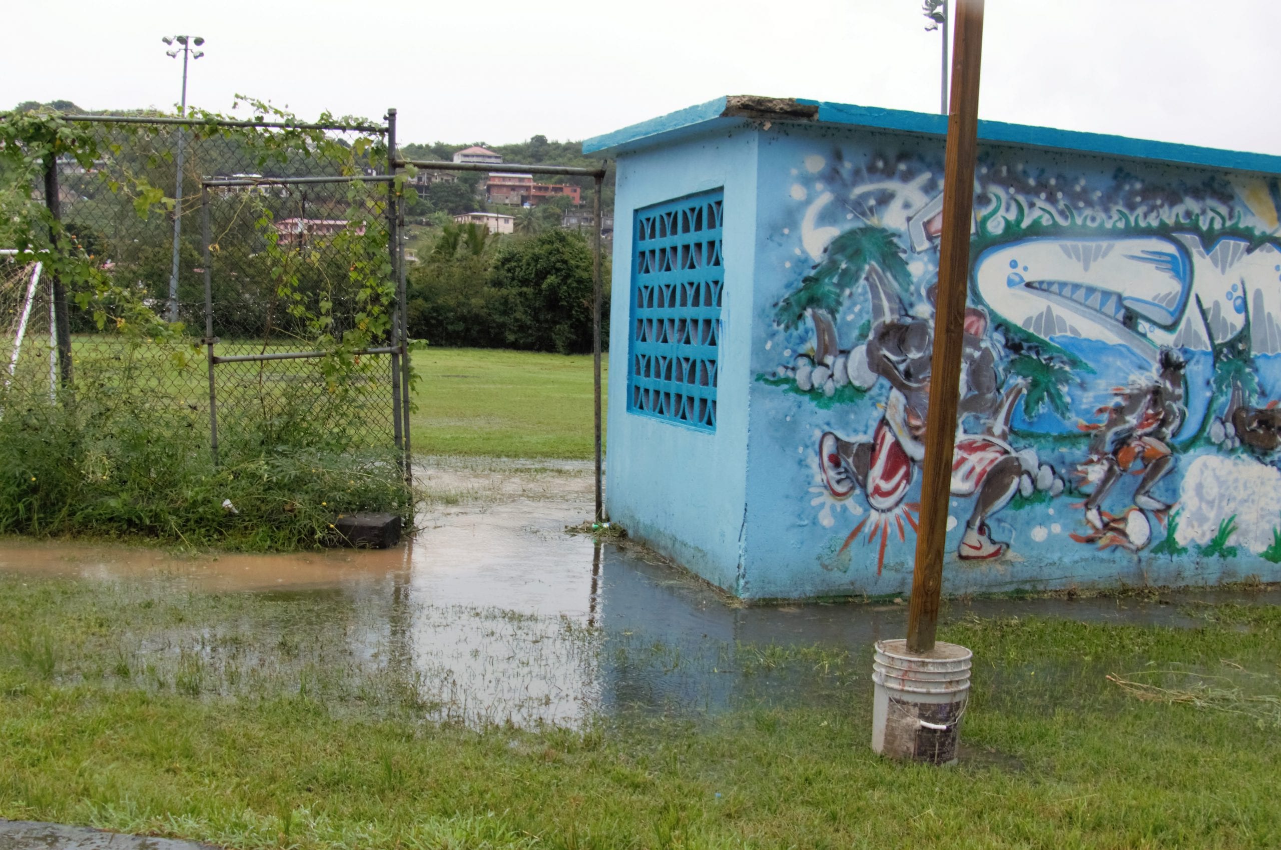
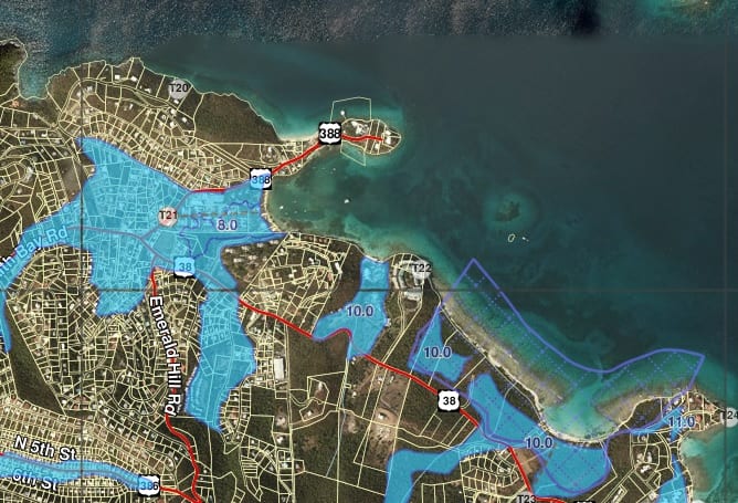
Located in north eastern St. Thomas, the Smith Bay watershed is approximately 1.4sq. miles and is divided into three main sub-watersheds, each draining to Water Bay, Sugar Bay, and Lindquist Beach / Smith Bay. The Smith Bay watershed offers a unique opportunity to compare hydrologic conditions and watershed health between Water Bay and Lindquist Beach sub-watersheds, which represent a heavily urbanized and a relatively undeveloped drainage area, respectively. This report describes watershed conditions and presents management recommendations based on field observations and input from a very active community. The overwhelming concern identified by watershed stakeholders relates to flooding in the Water Bay sub-watershed caused by extensive development, alteration of the natural guts and wetlands, and inadequate drainage infrastructure. Therefore, much of the attention on restoration of watershed function revolves around improving safety, minimizing property damage, and reducing the amount of time the community ball field is unusable due to flooding. Equally critical is the need to prevent similar issues from happening in the other two sub-watersheds, particularly since conservation measures are more cost effective than restoration.

View the watershed brochure here.